My 1983 Appalachian Trail Hike in Photos
I wrote a ton in words in my journal as I hiked the Appalachian Trail. I also shot a ton of Kodachrome slides in that pre-digital age. I've scanned all my old AT slides and posted them with short text blurbs connecting them to their parts of the story. I'd never tried to connect all these slides with all these words before. It helped me remember details of that long-ago hike in new ways. These pages are a chronological visual journal of the hike. Probably one of the oldest thru-hikes on the Internet to get one.
More pics from my 1983 Appalachian Trail hike. Table of Contents is here.
Pine Mountain, VA - Compton Gap, VA

Still in Chapter 7 of my Appalachian Trail book.
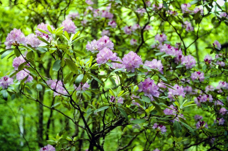
June 11, 1983 gave me my first taste of the long, placid center of the Appalachian Trail. There were no monster climbs or killer rock scrambles. I hiked the fourteen miles from Old Orchard to Trimpi Shelter, following the flat crests of long ridges through a pleasant variety of forests teeming with rhododendron and azalea blossoms in full bloom and mountain laurel just beginning to bud. The day was basically a peaceful stroll through the woods -- an interesting contrast to the more rugged and visually spectacular country to the south; a quiet interlude and a chance to recharge my batteries.
I hiked thirteen book miles of the AT the previous day over Mount Rogers and the Grayson Highlands. I had intended for that to be an easy day as I savored those last giants and prepared myself for the upcoming big mileage push.
However, having hiked so many extra miles off of the Appalachian Trail while roaming the highlands, I was exhausted. June 11 became my rest day. I hiked fourteen miles of very easy trail and just took it easy. Although I did not leave Old Orchard Shelter that morning until 8:30, I finished before 3:00 PM. A big mileage push was coming; time to catch up to the pace I needed to finish the AT by early October.
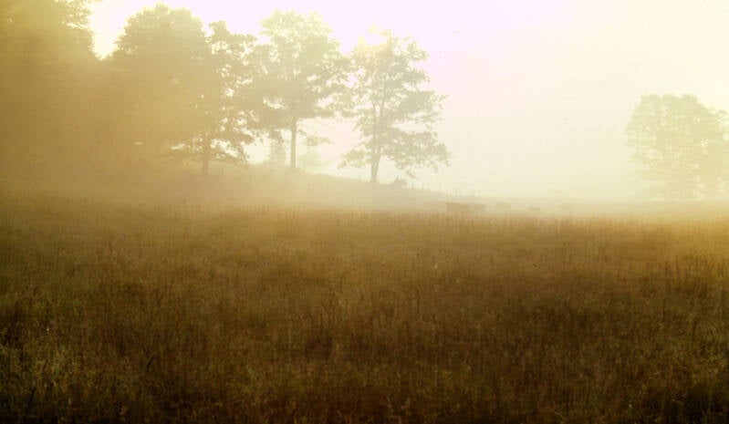
That big mileage push began Jume 12 with a rare early start for me. Before 6:30, as the first faint blue twilight tinged the blackness, I was gone. Shortly after dawn, I emerged into a high pasture touched by a beautiful backlit luminosity. A small herd of cattle was grazing far to my right, floating dimly in silver-gold mists which clung to the slopes and contours of the field, concealing the ground below and washing out the horizon. It was an unearthly sight. It looked like cow heaven.
The morning became ordinary as the sun rose and the magic faded. The woods and the footpath were pleasant.
I traversed three long, flat mountains featuring mature forests carpeted with moss and-ferns and sporting occasional explosions of rhododendron blossoms.
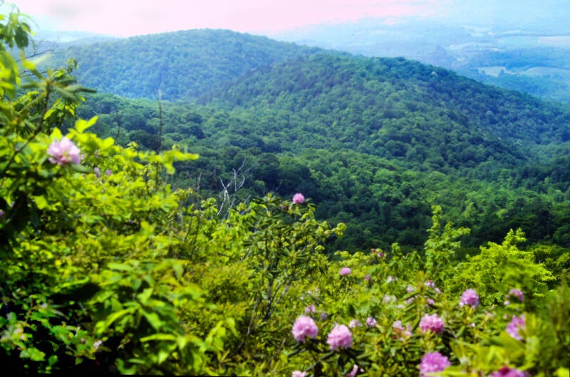

The one viewpoint of the entire day was a spot named the Glade Mountain Overlook, where a log bench in a small, sunny clearing provided a rhododendron-framed vista of small farms and wooded hills through the afternoon haze.
Having chugged out 21 miles June 12, I spent the night at a small hotel in the village of Groseclose, Virginia.
June 13, 1983. Still Chapter 7.
I needed to hitchhike to restock some supplies, which ate up a good chunk of the morning.


The thermometer once again flirted with the ninety-degree mark on June 13, and there I was hitting the trail at 11:30 -- just as the hottest hours of the day were beginning.
I only hiked just over 12 miles that day, but as usual with roadwalks I met some great people. You can read about some of them here.
The Appalachian Trail was a varied and interesting experience that afternoon.
The first mile followed paved state roads through a broad farming valley bisected by the Interstate. It was a nice roadwalk. I passed scores of cows, several horses, a few pigs, and acres of pasture. The second mile was on private dirt roads through a very large farm.
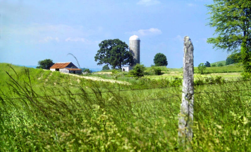
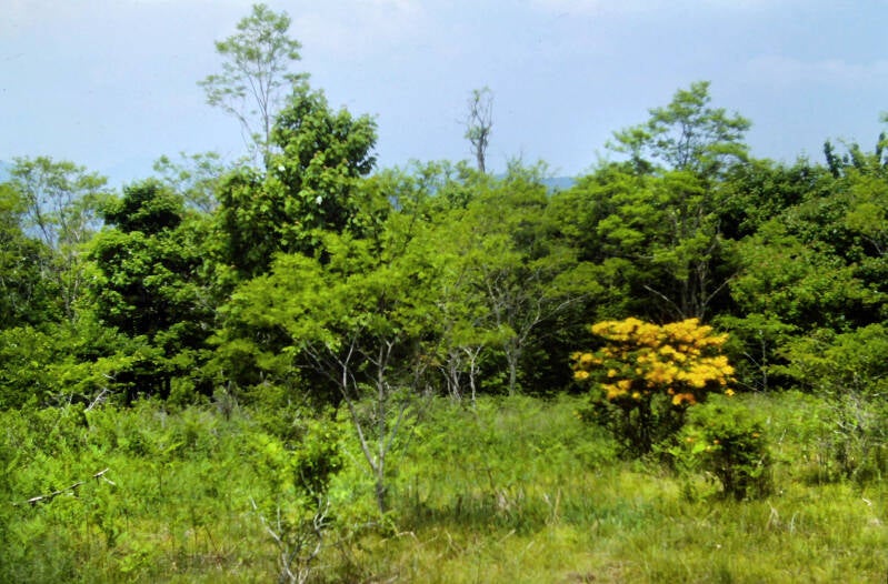
The AT then climbed over a ridge called Brushy Mountain (the second of that name I had encountered in the past two days), descended very steeply, and ascended very steeply to the crest of Gullion Mountain. The crests of both mountains were massive rhododendron gardens. There were other flowering shrubs as well.
From Gullion, the Appalachian Trail descended (steeply again) along a spur ridge into Crawfish Valley: a flattish wilderness of impenetrable rhododendron thickets surrounding a wide channel of sluggish brown water. Then, it climbed Big Walker Mountain on a well-graded trail and immediately descended into the next valley. June 13, 1983 ended with another pleasant southern Virginia rural roadwalk.
Still Chapter 7.

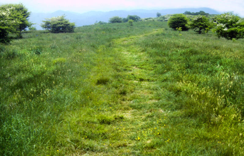
June 14, 1983 was another hot and an even more steamy day, but I managed to bang out 22 miles. After 7 miles of trudging up and down short, steep climbs at the start of the day, I had a long, steep climb up to and along Chestnut Ridge to Chestnut Knob. Both were nice. A long swathe of grassy, flowering meadow ran along the ridge crest up to and past the knob.
A small, spring-fed pond in the heart of the meadow was veiled by swirls of intense haze. The whole world was green and white.
This stretch made a nice change of pace from all of the wooded summits over which I had been hiking lately.


Chestnut Knob had an old, stone shepherd's hut which had been provided with a new roof and a picnic table and renovated as a shelter for Appalachian Trail hikers. I had lunch there.
The Spring of my thru-hike was over. Summer had arrived. The final 16 days of June through southwestern and central Virginia were an almost unbroken string of even hotter and steamier days than I had just experienced.
It also had an excellent view through the steam into a large, scenic, bowl-shaped valley known as Burkes Garden.
The next 300+ miles until I reached the southern end of Shenandoah National Park on July 1 were somewhat of a photo desert for my hike. I shot less than a roll of film.
Still June 14, 1983. Still Chapter 7 of my book.
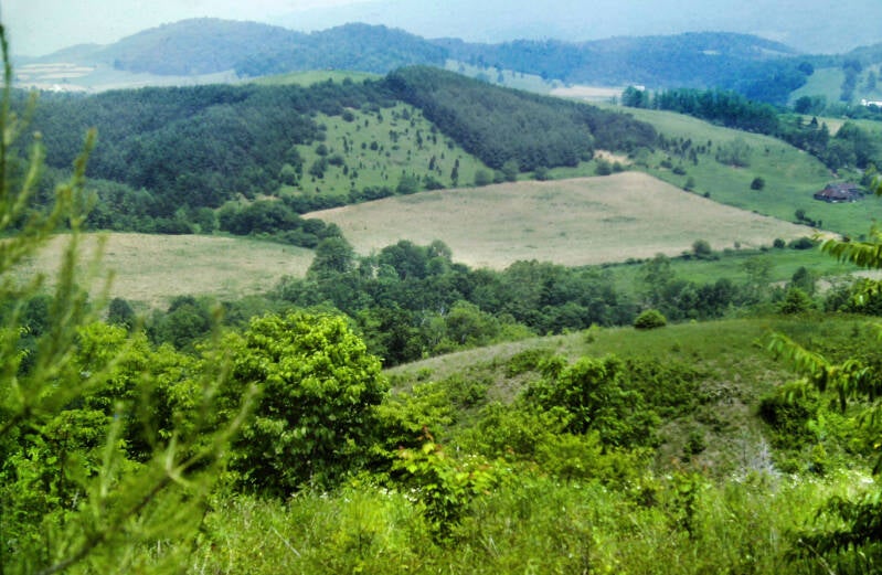
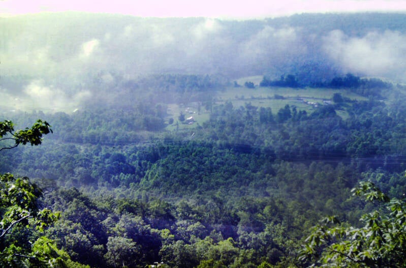
My next pic after Chestnut Knob was this one on Big Tinker Mountain, shot June 24. We have now jumped to the end of Chapter 8.
There was a lot of pretty country and occasional nice viewpoints, but they often looked similar to this when I arrived. Days like June 14 with high temps but just low enough humidity to be able to see clearly into the adjacent valley became rare. The morning of June 24 was typical of the change: humidity so high clouds were forming before my eyes.
Also June 24, 1983 on Big Tinker Mountain.
The Summer of 1983 was known for its extreme drought that brought on extreme heat waves. The Midwest and Great Plains caught the worst of it, but the Southeast and the mid-Atlantic through New York City also were hit very hard.
Northbound AT hikers called southwestern and central Virginia "The Wall". This particular summer, I was walking into something extra.
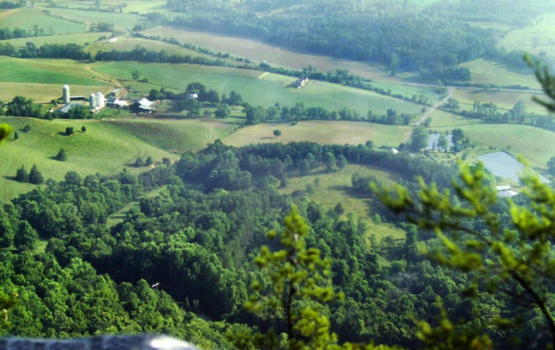
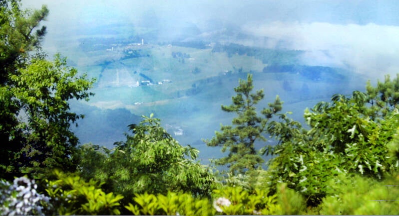
The Wall comes from a term used by marathon runners to describe that sensation near the end of a race where the runner's condition suddenly collapses as if he had run into a brick wall. The northbound Appalachian Trail "Wall" is a psychological, rather than physical, phenomenon, occurring much earlier in our test of endurance.
Left and below also shot June 24, 1983 on Big Tinker Mountain. Also Chapter 8.
Day after day, you walk identical low, wooded ridges in soaring heat and humidity. Flies pester you relentlessly. You see the same trees and farms over and over as the long, slow days crawl past. Suddenly, you realize that it is summer. All over the country, people are going to the beach, playing ball, going to drive-in movies, partying, making love, and doing all of the hundreds of things which make summer special.
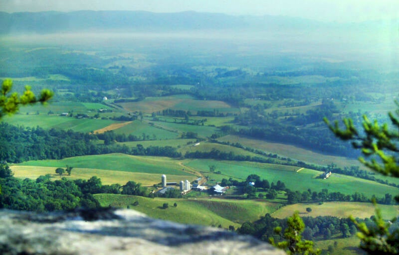

But you are stuck in this place, seemingly going nowhere, on a long and monotonous quest.
Back to June 24, 1983 on Big Tinker Mountain. Also Chapter 8. After that morning dew burn-off turned into new clouds in the already-saturated air, the clouds gradually became part of the general humidity, and some rare (lately) views began to emerge.
The Wall began to crack for me just before Cloverdale, Virginia around June 24. I was just about a third of the way through the AT, and we had a series of impressive views including this one from a spot called Hay Rock.
The view right and in the next 2 pics is of Carvins Cove Natural Reserve and Carvins Cove Reservoir.


Some physical problems I had were beginning to abate, and I hiked for a time with another thru-hiker I liked named Alan Strackeljahn. Ironically, he had just lost his original hiking partner to The Wall.
It was clear enough to make out the outskirts of Roanoke from Hay Rock, but not nearly enough to see the city several miles away.
One more from Hay Rock. June 24, 1983. Still Chapter 8 of my book.
As if all this great scenery and a somewhat less humid day than Virginia had thrown at me since June 8 or 9 weren't enough to help tear down The Wall, Alan had told me that several restaurants with all-you-can-eat deals were near the AT roadwalk on US 11 ahead. Heh, heh, heh. THE FOOLS!!!!

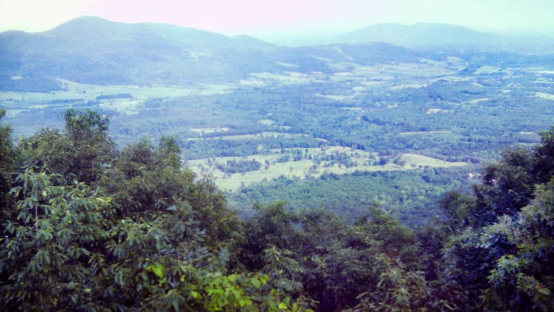
The last week of June 1983, and Chapter 9 of my book, took me from Cloverdale to Waynesboro, Virginia, at the southern end of Shenandoah National Park. The Appalachian Trail mostly followed the crest of the Blue Ridge, with frequent crossings of the Parkway. The trail passed through mostly mature forests with frequent nice views, especially northward into the Shenandoah Valley.
It was a pleasant section to walk, despite the thermometer remaining in the 90s and the humidity truly soaring once again.
That hot, muggy day on Big Tinker Mountain, where there was a little less steam than usual turned out to be my nicest hiking day in the entire second half of June 1983.

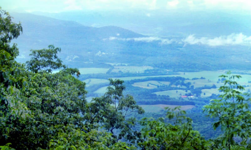
I did have a cold, rainy night June 29 in a shelter high up on a mountain called The Priest, followed by a chilly, foggy morning. This break from the heat, if not the humidity, was most welcome.
Due to the large number of errands I had to run in Waynesboro and the fact that the first available shelter north of Rockfish Gap was twenty miles up the trail, I took a day off and spent the evenings of July 1 and 2 in a motel room. Just ahead were Shenandoah National Park and an even more blistering July.
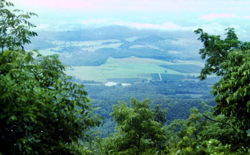
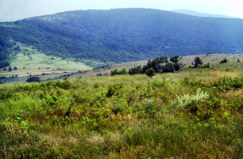
July 3, 1983. I began my hike through Shenandoah National Park on the Sunday of a three-day Fourth of July weekend on the eve of the major summer U.S. holiday.
The first seven miles of trail traversed three mountains located on private land south of the actual park boundary. Most of the trail route over the second mountain was devoid of trees. The AT followed the ridge crest of Bear Den Mountain to a flat, rocky meadow. Chapter 10.
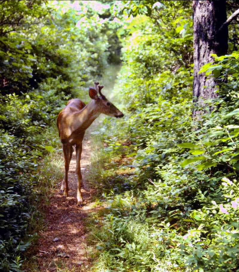
I saw five or six white-tailed deer along the trail July 3, from extremely close range. Like their cousins in the Great Smoky Mountains National Park, they seemed to harbor no fear of man. They would come strolling down the trail, allowing me to approach within thirty feet (or less, see right) of them before taking a few steps off of the path into the woods, where they would stand patiently waiting for me to pass by. They always watched carefully and seemed ready to bolt at the first sign of trouble, but it was still a valorous display for deer. I was touched and honored by their trust in me, and the venison tasted great that night.
Sill Chapter 10 of my Appalachian Trail hike story.

The first half-mile from Blackrock Hut on the very early morning of July 4 led to an interesting summit called Blackrock. Blackrock was the center of a magnificent panorama of mountains. Northwest, a wide arc of ridges coiled around a rolling, wooded valley called Dundo Hollow, with wisps of morning fog still clinging to the lowest points. Hawks and turkey vultures effortlessly soared below me, ranging for miles above the hollow as I watched.
Through July 4, the southern section of the park offered a quiet sort of beauty. With the exception of Blackrock, many of the Appalachian Trail's best views during my first two days in Shenandoah National Park were at the crossings of overlooks on Skyline Drive, the park road. Also aside from Blackrock, there were no outstandingly spectacular features, but occasional nice views were strung along the AT, and the forests, for the most part, were mature and attractive.
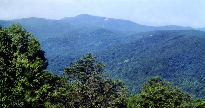

Perhaps the most outstanding features of Shenandoah National Park to a long-distance hiker like myself are all of the conveniences located on or near the Appalachian Trail. At Loft Mountain Campground, I walked into its fair-sized grocery store and walked back out with a pint of strawberry ice cream and two ten-ounce cokes. Despite more intense heat and humidity, I ticked off about 41 miles of Appalachian Trail June 3 and 4.
A very uncomfortable sleeping situation the night before had me up before dawn and out on the AT at first light. This led to a very early traverse of Hightop Mountain on July 5, 1983, while the humidity still lent the vistas a charming blue glow, unlike the gray tones to come as the day wore on.
Still Chapter 10, Shenandoah.


The trail descended from the summit, steeply at first, and then more gradually. It turned onto one of those very old, abandoned farm roads that still lingered from the old days and passed through the remains of a venerable apple orchard, now reverting to forest, before completing its descent into Swift Run Gap. U.S. Route 33, a divided, four-lane highway cutting across the Blue Ridge, ran through the gap.
Still July 5, 1983.
This central portion of Shanandoah had a number of open summits and other fine viewpoints. I didn't shoot very many pics. I enjoyed the views, but to the camera they looked a lot like this. The humidity started pretty high and increased every day of my Shenandoah hike to this point. That smudge of gray tones beyond the foothills is the nearby Shenandoah Valley.

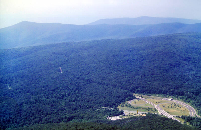
July 6, 1983 was another steam bath day. Towards the end of the day a short spur trail led to the base of an outcrop. Marys Rock towered high above the deep Blue Ridge pass called Thornton Gap.
Despite the mugginess, 360-degree views were a feast for the eyes, if not the camera. Shenandoah and Great Smoky Mountains national parks remain the two portions of the Appalachian Trail I'd love to revisit with just a little better weather.
On my last day in the park, July 7, 1983, the steam abated quite a bit, so my camera finally got a good workout. It was still hot with normal summer humidity, but my mileage-eating days through Shenandoah allowed me to finally attain the psychological hurdle of being on the pace I needed to average over the entire AT in order to finish by early October.

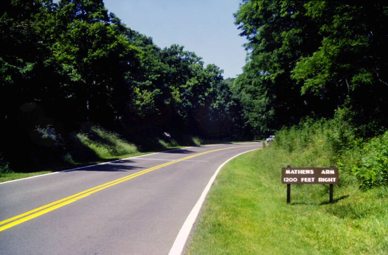
In central Virginia, near Cloverdale, the Appalachian Trail began hundreds of miles of sharing the crest of the Blue Ridge with first the Blue Ridge Parkway and then Skyline Drive once I reached Shenandoah. By the end of this day that would end. So I took this pic, which (except for the sign) could be a typical crossing of either road.
Still July 7, 1983. Still Chapter 10.
A short spur trail to the left led to some giant boulders just above the Hogback Overlook on Skyline Drive where a magnificent view unfolded: miles of the Page Valley, culminating at the northern end of Massanutten Mountain, where the severed halves of the Shenandoah Valley were reunited into one sprawling agricultural plain stretching forever toward the Alleghenies.


After days of steaming, oppressive heat, July 7 was breezy and cool. The accustomed white, washed-out sky was a deep September-ish blue. Even the horizons were clear enough to see beyond the foothills to the Shenandoah Valley.
Hogback Mountain was spectacular, although Skyline Drive was a constant presence.
Still July 7, 1983. Still Chapter 10.


Massanutten Mountain was actually a mountain range. From this angle you could clearly see two of its parallel ridges and that there was a good-sized valley in between.
On Hogback's Third Peak a short spur trail led to some giant boulders just above the Hogback Overlook on Skyline Drive where a magnificent view unfolded in several directions. Below, Brownstown Valley, a big, beautiful hollow encircled by the Blue Ridge and some spur ridges and foothills was a tapestry of fields, farms, and a tiny azure pond where the valley spilled out into the Shenandoah Valley.
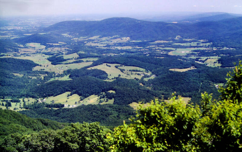

Northward, I could follow Skyline Drive all of the way to its terminus in Front Royal.
Still July 7, 1983. Still Chapter 10.
After climbing Hogback's Second Peak, the Appalachian Trail descended to a field at the top edge of a nearly vertical drop-off of the western face of the Blue Ridge, looking directly down the center of Browntown Valley towards the vast plain of the northern Shenandoah Valley.


The fine views north and west continued over First Peak and Little Hogback.
The Appalachian Trail brushed close to Skyline Drive several times and crossed it once along its long descent to Gravel Springs Gap.
Another look over the Blue Ridge foothills at the northern ends of Page Valley, Massanutten Mountain and the South Fork of the Shenandoah River. Massanutten Mountain ends, allowing the valley and the river to merge into the main Shenandoah Valley and Shenandoah River.
Still July 7, 1983. Still Chapter 10.


One last look at Browntown Valley from the north end of that nearly vertical stretch of the Blue Ridge's western face.
In the gap, the AT crossed the drive once again and began to ascend South Marshall. The road was much less obtrusive on Marshall Mountain, with only one trail crossing and no other close approaches. Ledges and rock slabs near the top of the ascent gave great views.
Still July 7, 1983. Still Chapter 10.


The trail descended to cross the drive in the fair-sized plateau between Marshall's peaks and climbed North Marshall.
A ledge just above the AT along the ascent had a 180-degree view stretching from southwest to northwest including the Blue Ridge south from Hogback over Stony Man all of the way to Hawksbill.
Views of the Shenandoah Valley opened up as I reached North Marshall's crest, following a line of westward-facing cliffs.

Towards the south, Skyline Drive snaked around Hogback's green summits and followed the Blue Ridge towards Stony Man, Hawksbill and beyond. One final good look at the last 4000 footers on the AT until Vermont.
Still July 7, 1983. Still a few hours from the end of Chapter 10.
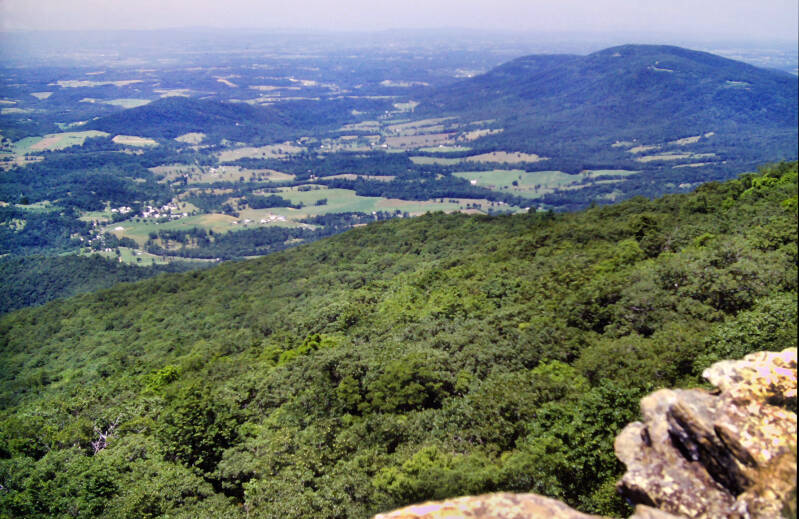
The park is the swan song of scenic grandeur for northbound Appalachian Trail hikers until they reach New England. This is diminished somewhat by the constant reminders of man. There's the road, campgrounds, etc. inside the park. Also a lot of people live on either side of the range. Here is a rare shot from a lookout in Shenandoah looking out on just trees, mountains and valleys.


The summit of North Marshall was a big, jagged, westward-facing spur of rock, with tiptoe views of the Shenandoah Valley north of Front Royal and the Blue Ridge north of Shenandoah National Park, where the range dwindled to a low, flat ridge projecting up through Maryland.
In Compton Gap, twenty-one miles into my hike today, the Appalachian Trail crossed Skyline Drive one final time. At this point, the drive departed the crest of the Blue Ridge and descended along a spur ridge. After two hundred miles of paralleling the drive and its extension, the Blue Ridge Parkway, I was leaving the road behind.
End of July 7, 1983. End of Chapter 10.

I'm still not done. More AT pics here.